November 2024
Appraise Release, Tuesday 5 November 2024
Words By
Jamie Rumbelow

We've just pushed a new version of our development appraisals tool, Appraise.
This release adds more visual information to the results page, some marketing ops improvements, and a few bug fixes.
New Features
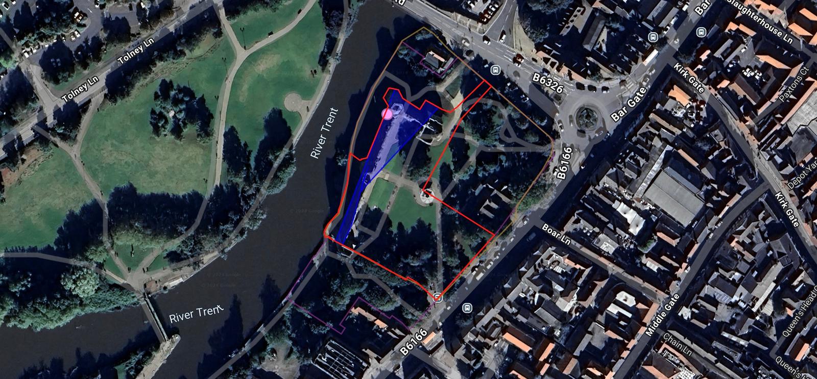
We now show the relevant features of a site on the map itself, allowing you to see, for instance, where the flood zones are in relation to the site boundary:

The legend is interactive, so you can toggle the visibility of map features:

We've also added a 'return home' button in case you get lost:

Enhancements
- New dataset: historic parks and gardens
- New dataset: conservations areas
- New dataset: local nature reserves
- Results boxes will now display multiple features, not just the first one we find
- Appraise landing pages - we can now create custom landing pages for different marketing campaigns
Bug Fixes
- Fixed the calculation of boundary boxes for more complex polygons, which makes the initial results view, and zooming in on titles, more accurate
- Fixed an error in the telephone number regex, which was causing some valid numbers to be rejected
- Fixed an error with the World Heritage Sites Buffer Zones fetcher, causing it to fail when run out of order
- Tweaked the apostrophes (to use ’ rather than ')
Words By
Jamie Rumbelow
Jamie is cofounder and CEO of Tract. He has a philosophy degree, and is writing a book about London.
releases
appraise