December 2024
Announcing Scout
Words By
Henry Dashwood

Contents
Today we’re releasing Scout.
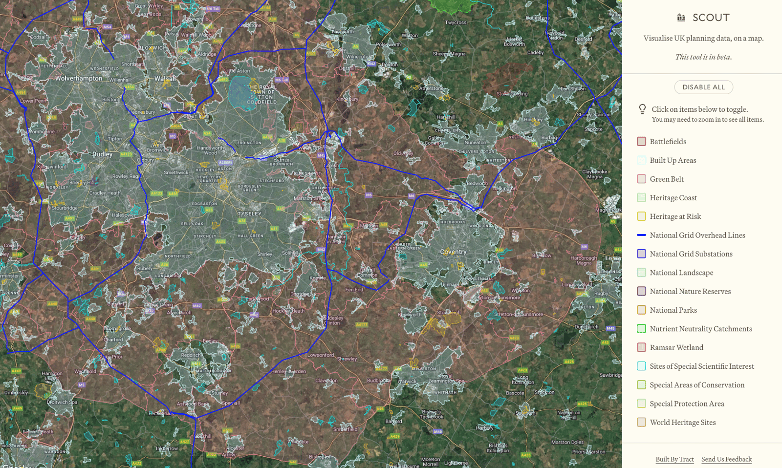
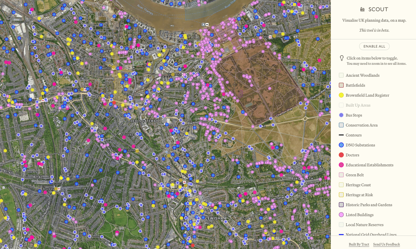
It’s a map of the United Kingdom that lets you fly around the country and view things like planning constraints and infrastructure. It’s completely free and anyone can use it.
It’s a very simple tool at this point, but there’s lots more we’re going to add. For instance Wales, Scotland, and Northern Ireland have different data sources so coverage is focused on England. In the meantime, have a play and let us know if there’s anything we can do to improve it.

We’ve built Scout on top of the same infrastructure as our appraisal tool. With Appraise you can get an overview of all the constraints that affect a particular site. But it’s also useful to be able to zoom out and look at a particular feature and how it covers the country as a whole. Part of the genesis of Scout was our own internal need for a tool to help us debug and visualise our datasets over a wider area.
You might find this useful if you want to quickly look up the locations and coverage of a particular type of planning constraint or the layout of a particular bit of physical infrastructure.
We’re very grateful for the work that the open data team at the Ministry of Housing, Communities and Local Government have done. Many of our datasets come from them. With Scout we can bring in information from a range of other sources and see how the layers interact.
You can also share links to specific locations and layer configurations. Just copy the URL and whoever you send it to will be able view Scout in the same state!

Where are we going?
In the short term, we will be adding more infrastructure as well as some geological and demographic datasets.
In the medium term, we want to open planning activity and history up to the public. This is something that absolutely should exist but has never quite picked up momentum. Here is a blog post from the Digital Land team in the government lamenting the lack of progress. You’ll note that it’s from 2019. More than five years on, this information is still incredibly important for businesses, researchers, and local planners – and yet still very inaccessible. Either you pay through the nose for it, or you spend hours crawling through clunky council websites.
Alongside some collaborators, we’ve started work on a project to rectify this. More on that in the next post!
Words By
Henry Dashwood
Henry is one of the cofounders of Tract. He grew up on a farm in Northamptonshire. In the years before Tract he worked as a machine learning engineer and data scientist.
announcements
scout